Reimagining Blind Creek - Lewis Park
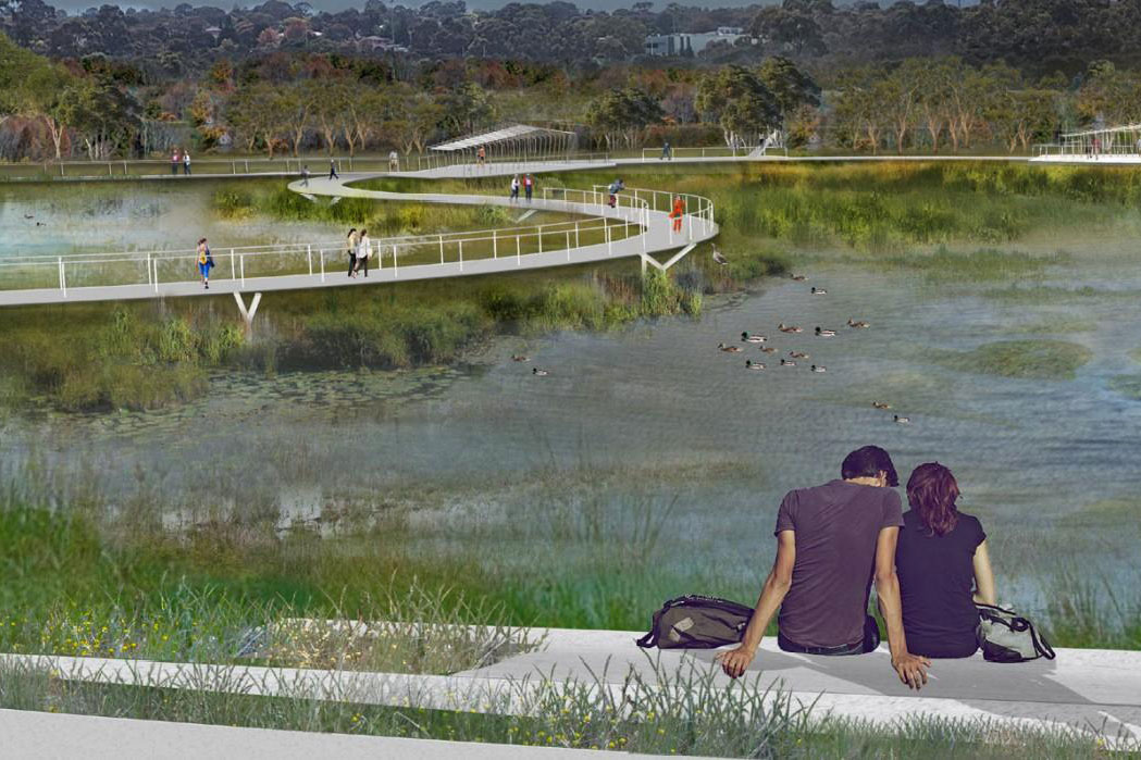
We transformed 1.65 kilometres of an underground concrete drain into a natural waterway, and turned Lewis Park into a more enjoyable community space.
Projects
See all- Richmond
Richmond Quarry Main Drain investigations
Melbourne Water and Yarra City Council are working together to consider options for how to reduce the impacts of...
- Tuerong
Improving Devilbend Creek habitat and vegetation
We are improving the native vegetation of 47 hectares (3 kms) along Devilbend Creek, adjacent to the Devilbend Reservoir...
- Warburton
Cement Creek Redwood Forest upgrades
We are improving visitor access and protecting the environment along Cement Creek and the Yarra River at the popular...
Consultation progress update: Draft flood maps for Darebin, Yarra, Glen Eira and Merri-bek Councils
We’re working with local councils to update flood maps across Greater Melbourne. The maps show areas predicted to flood, now and in the future – so we can plan for our changing urban landscape and weather.
