


If you’re building or developing in Melbourne, find out what you need to do before you start your project.
Quick links

Recommended for you
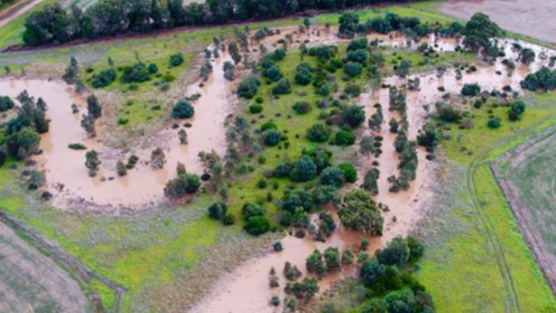
Flooding information and advice
Plan ahead. Understand the impacts of potential flooding on your plans to buy, sell, build, renovate or develop.

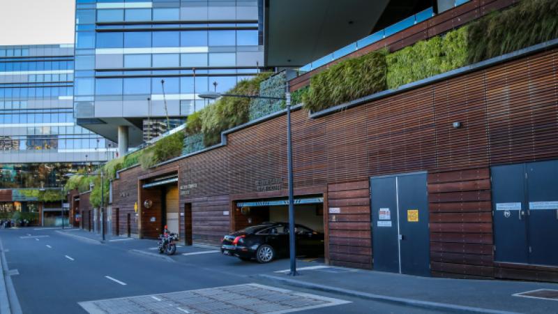
Design and Construction Hub
Is the new way to lodge Detailed Design Submissions for Civil and Landscaping, through to Final Completion process and handover of assets to the asset owners.
Explore what’s happening in your area, search for a job, find your local water company and find out about how we're working to support the community.
Quick links
Recommended for you
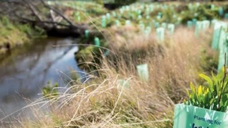
Waterways and Drainage Charge
The charge funds a range of services to protect rivers and creeks, and provide regional drainage and flood protection. View current prices.
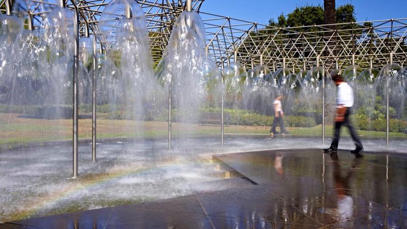
Water restrictions and water saving rules
Even when water restrictions aren't in place, Melbourne has permanent water saving rules. Each person also has a personal water usage target of no more than 150 litres a day. Read about water restrictions, water saving rules and your personal Target 150.
Find out what how you can save water at home and what we are doing to manage and protect our water supply for the future.
Quick links


Browse our educational resources for students, teachers and the community. Get involved in the citizen science, book an excursion and more.
Quick links


Learn about how we work with our industry partners, Traditional Owners and the government and find out how you can become a supplier.
Quick links
Recommended for you
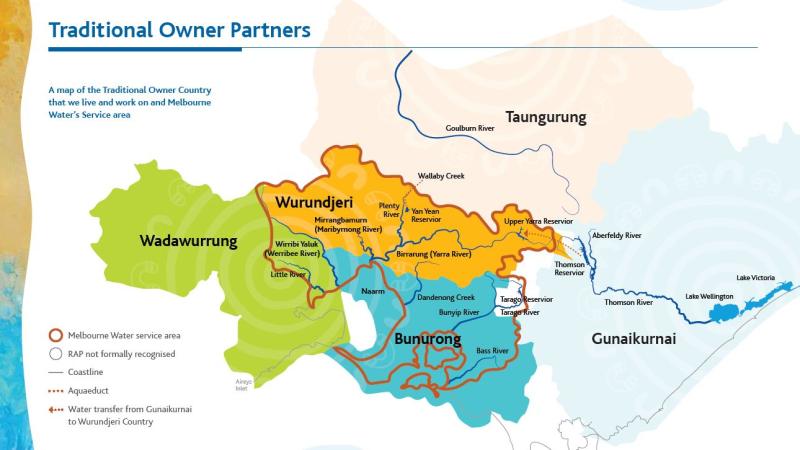
Traditional Owner partners and community
At Melbourne Water, we understand the central role water plays in our communities, environment and economy.
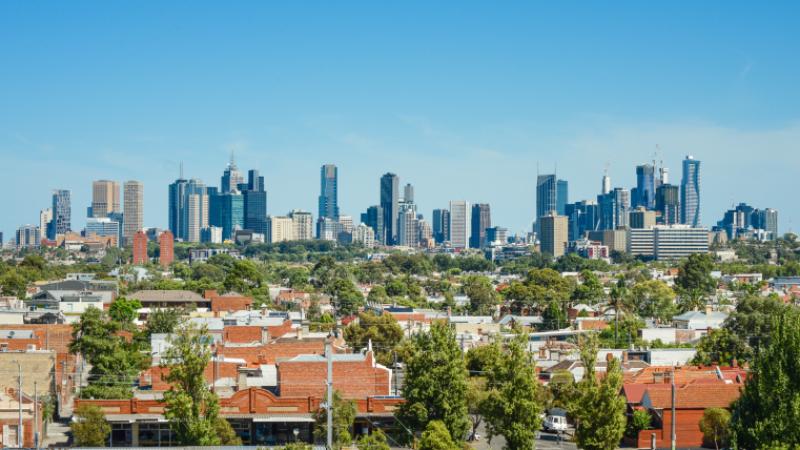
Supporting the delivery of housing across Greater Melbourne
Melbourne Water’s Housing Roadmap sets out how we will improve planning, services and infrastructure to help deliver more homes while building resilient communities.
Updated draft flood maps are available for Moonee Valley, Banyule, Hobsons Bay and Brimbank
We’re working with local councils to update flood maps across Greater Melbourne. The maps show areas predicted to flood, now and in the future – so we can plan for our changing urban landscape and weather.
Newsroom
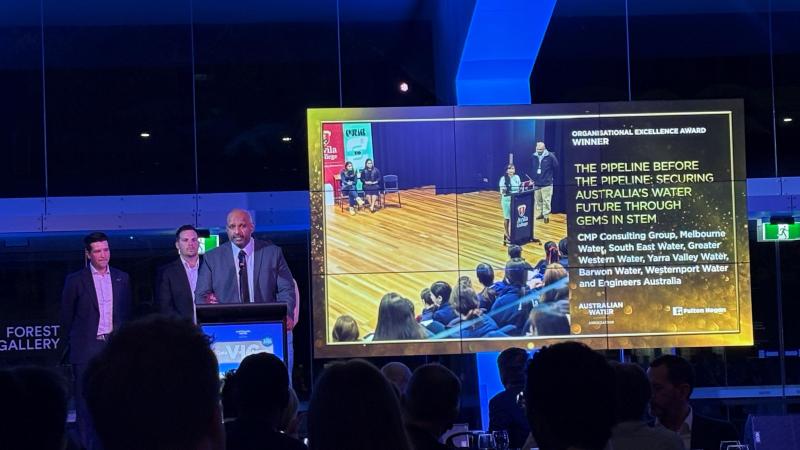
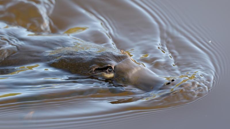


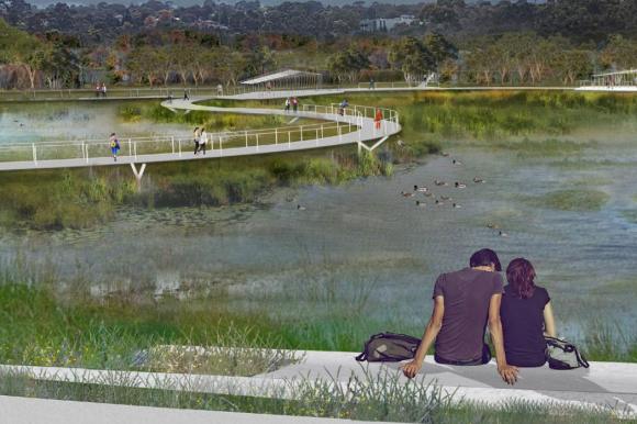
Reimagining Blind Creek - Lewis Park
We transformed 1.65 kilometres of an underground concrete drain into a natural waterway, and turned Lewis Park into a more enjoyable community space.
Projects
See all- Richmond
Richmond Quarry Main Drain investigations
Melbourne Water and Yarra City Council are working together to consider options for how to reduce the impacts of...
- Tuerong
Improving Devilbend Creek habitat and vegetation
We are restoring the native vegetation of 47 hectares (3 kms) along Devilbend Creek, adjacent to the Devilbend Reservoir...
- Warburton
Cement Creek Redwood Forest upgrades
We are improving visitor access and protecting the environment along Cement Creek and the Yarra River at the popular...