We’ve been working hard to protect the lower Watts River catchment from an aggressive weed, red cestrum, since 2006.
Why this is important
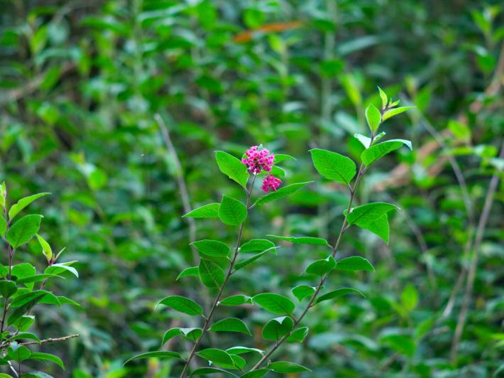
Left unchecked, this weed − ‘red cestrum’, or Cestrum elegans − will continue to spread, outcompeting and destroying vegetation and animal habitat within and beyond the Watts River catchment. Once the complex biodiversity of the rivers, creeks, floodplains and forests is damaged, the water quality of the Watts River will reduce.
By protecting the Watts River system, Melburnians can expect a high quality, biodiverse system of waterways, providing clear, pure drinking water into the future. These same rivers, creeks and surrounding forests are part of a system of reserves, that maintain habitat for Australia’s unique and diverse flora and fauna.
For more information about the project, watch the following video:
Protecting Watts River
Did you know the Watts River is a priority waterway for management and protection, under our Healthy Waterways Strategy? The Watts River catchment is also an important drinking water supply within the Yarra Ranges National Park, which also flows into and affects the water quality in Melbourne’s iconic Yarra River.
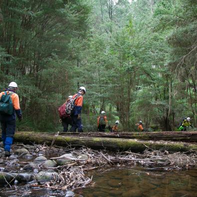
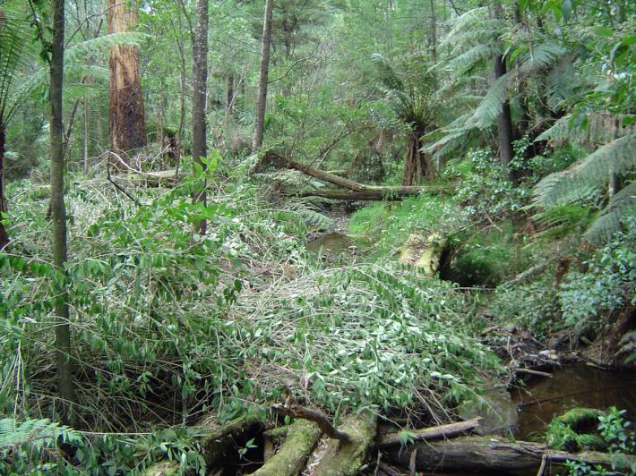
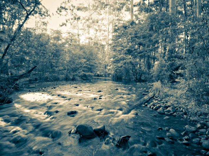
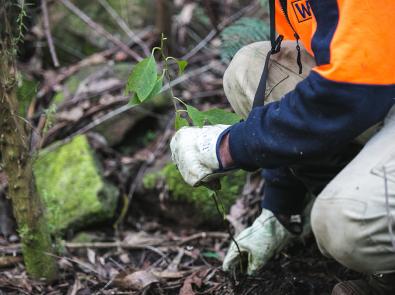
Check out these pictures of Watts River, including what cestrum looks like:

What’s happening and when
Timing
Works began in December 2006, with capital works scheduled for completion in 2023. This large scale, coordinated project involves cutting down mature parent plants, then systematically removing all the seedlings that have and continue to emerge from the existing store of seed in the soil. As the seedbank becomes old and depleted, cestrum begins to disappear from the landscape, replaced by local indigenous species of plants. The habitat for fauna returns, and the rivers, creeks and floodplains are restored.
The project will then move into a targeted maintenance phase, where the last hotspots will be strategically visited to remove the remaining seedlings as they emerge.
Impacts of work to date
The following maps show the decrease in red cestrum since the start of the project.


Location
This project occurs in the protected catchment areas surrounding Maroondah Reservoir, east of Melbourne, that supply Melbourne’s drinking water. Click on the Google Map below for more about this location.